The mission of the Ventura County Watershed Protection District’s Watershed Resources and Technology Division is to collect, maintain, and disseminate hydrologic and meteorologic data; conduct and prepare hydrology studies for District design projects; participate in the development of watershed plans; and to operate and maintain an advanced flood warning system for the benefit of all residents within Ventura County. We also maintain geographic data and web systems as well as design and maintain District databases. Bruce Rindahl manages the Watershed Resources and Technology Division.
WPD WR&T staff are responsible for the following core services:
- Collect, maintain and disseminate official hydrological data in the County (includes installation and readings at multiple dozens of rain gauge and stream gauge stations located at key sites throughout Ventura County)
- Hydrologic Design Studies
- Flood Warning System
- Forecast Modeling
- Technical Support for watershed management plans
- Hydrological Support for District staff
- Geographic Information System and spatial data for Watershed Protection District
- Benefit Assessment (tax) calculations
- Staff support Districtwide in matters of information technology
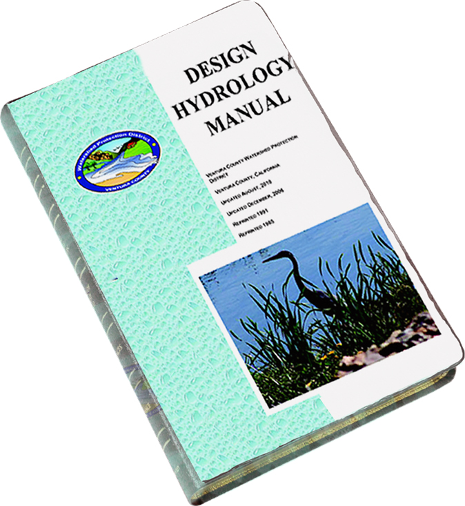 Please see the 2017 update of the VCWPD Hydrology Manual and our design hydrology programs through the above link. In general, peak flows from urban and small undeveloped watersheds for use in channel design can be evaluated using our modified rational method and programs (VCRat2.64, TC Calculator). Peak flows and hydrographs for regional facility design can be evaluated using the calibrated S-Graph developed from 2005 storm data using HEC-HMS. Other peak flow design methods that have been used to evaluate floodplains include the results from flow frequency analyses and inserting design storm rainfall in continuous models such as HSPF. For information on these advanced methods, please contact the Hydrology Section at (805) 654-2069 or email your request to
 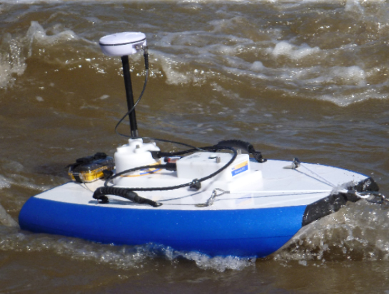 Hydrography is the science that measures and describes the physical features of bodies of water and the land areas adjacent to those bodies of water. Historic record keeping is central to the efforts of the District’s Hydrography team. In particular, hydrographic work for the District centers on collecting data as reported via specialized equipment such as stream gages and rain gages using modern technology such as Bluetooth transmission and solar powered gages. Stormwaters in our channels are compared to normal stream water depth and stream water velocity. Weather patterns are tracked, gages are deployed, maintained, repaired, and upgraded. Photos are taken, cataloged, and stored. Years’ worth of data form a valuable resource to the District and to others who rely on such data to make informed decisions based on the trends evidenced by the Hydrographers’ work. Our Hydrogaphy team provides the hand’s on work in the field to keep our flood warning system operational. The Hydrography team is headed up Ron Marotto.
 The Watershed Protection District Information Technology Section is responsible for a range of technology related duties within the District: